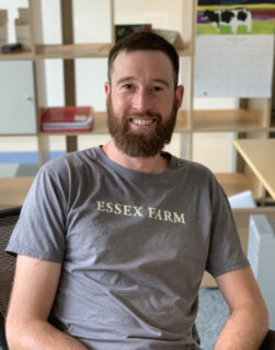
Mo., 30.9. Keynote Dr. Jennings Anderson: From Volunteered Geographic Information to Artificial Intelligence: 20 Years of Planet-Scale Open Geospatial Data
Im Rahmen der Tagung des AK Digitale Geographien in Nürnberg konnten wir mit Unterstützung durch das Bayerische Forschungsinstitut für Digitale Transformation Dr. Jennings Anderson (Oregon) für einen öffentlichen Grundlagenvortrag gewinnen.
Dr. Anderson ist Geograph und Geoinformatiker, er hat umfangreich zur Entwicklung von OpenStreetMap geforscht und arbeitet seit einigen Jahren für den Geodatenbereich des Meta-Konzerns. Dort ist er unter anderem zuständig für die Entwicklung von offenen Geodaten im Kontext der neuen Overture Maps Foundation.
From Volunteered Geographic Information to Artificial Intelligence: 20 Years of Planet-Scale Open Geospatial Data
Today’s researchers have access to many open geospatial datasets from OpenStreetMap to AI-derived building footprints from Microsoft and Google. However, processing, conflating, and generally working with these planetary datasets at scale remains a difficult problem. The Overture Maps Foundation continually combines the best available sources of open spatial data to create reliable and interoperable global-scale data for map-makers. The resulting dataset is distributed as GeoParquet, a cloud-native geospatial format that will fundamentally change how industry and academia alike interact with global-scale spatial data.
Öffentlicher Vortrag/Public Lecture
Montag, 30. September 18.00-19.30Lange Gasse 20 in Nürnberg
Fachbereich Wirtschafts- und Sozialwissenschaften
Raum 0.424
Für Geographie-Studierende an der FAU kann der Vortrag als Institutskolloquium anerkannt werden. Bitte in diesem Fall Kolloquiumspass und FAU-Card mitbringen.

